Charge Map
More stations less anxiety
bd+briefcase
The Swedish Energy Agency & The Swedish Environmental Protection Agency

Interactive map for charging stations
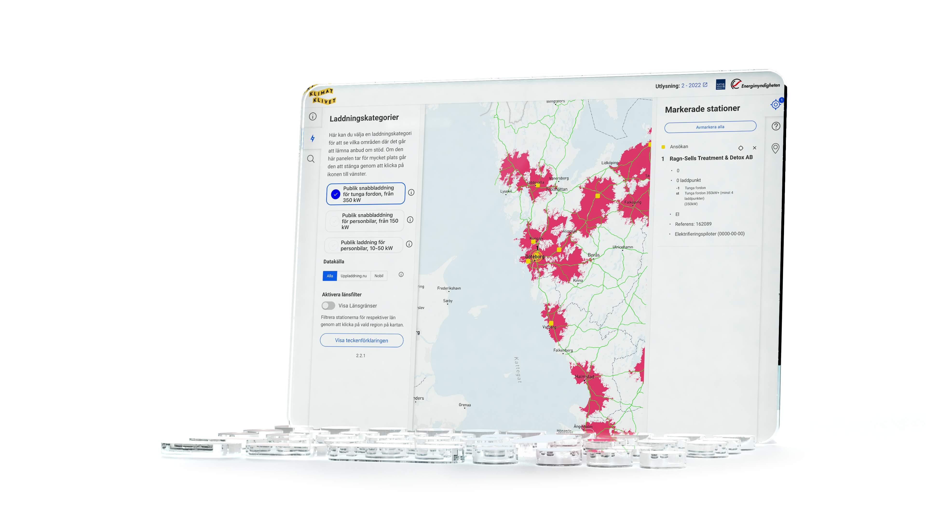
According to recent surveys, the biggest drawbacks of owning electric vehicles are their limited range and the scarcity of charging stations. To facilitate smooth electric vehicle travel throughout Sweden, the Swedish Energy Agency and the Swedish Environmental Protection Agency (through Klimatklivet) have teamed up with Boid to develop an interactive map. This map offers a comprehensive view of both existing and new charging stations, along with the distances between them.
Simplifying complex data
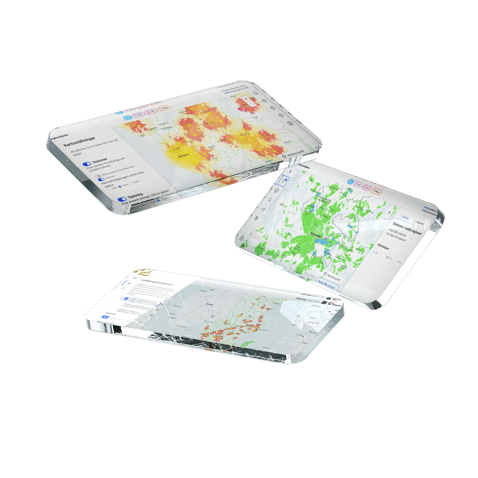
The challenge was to simplify extensive and complex data while ensuring that the information remained updated from multiple data sources. We developed the map from scratch through user studies and consultations with domain experts, designing features and interfaces (UX/UI), and implementing software as a web application.
An agile approach
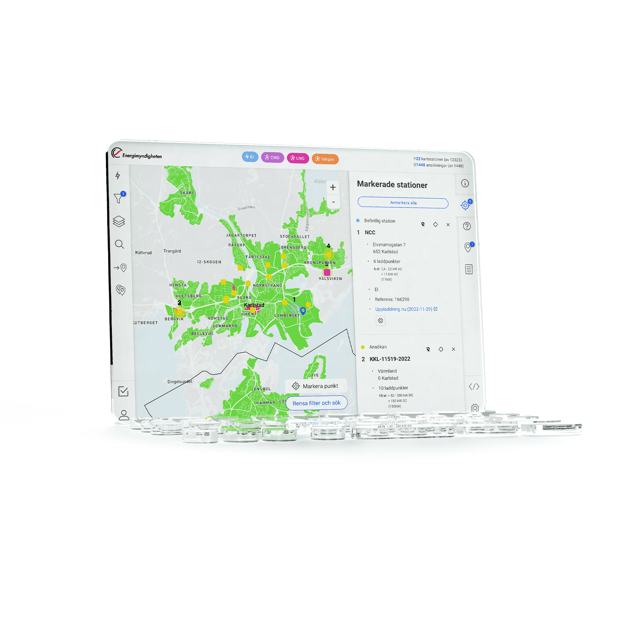
The purpose of the map has evolved over time - from originally focusing on reviewing applications retrospectively, it has now become a crucial tool for making informed decisions about where stations should be built. Therefore, we have employed an agile process where Boid, as the product owner, has presented various proposals that we have collectively discussed. This endeavor has provided us with deep knowledge of map visualization, efficient management of multiple map layers, and integration of data sources with different structures.

Curious about the charging infrastructure in your area?
Visit our interactive map to find charging stations near you.
bd+briefcase Project
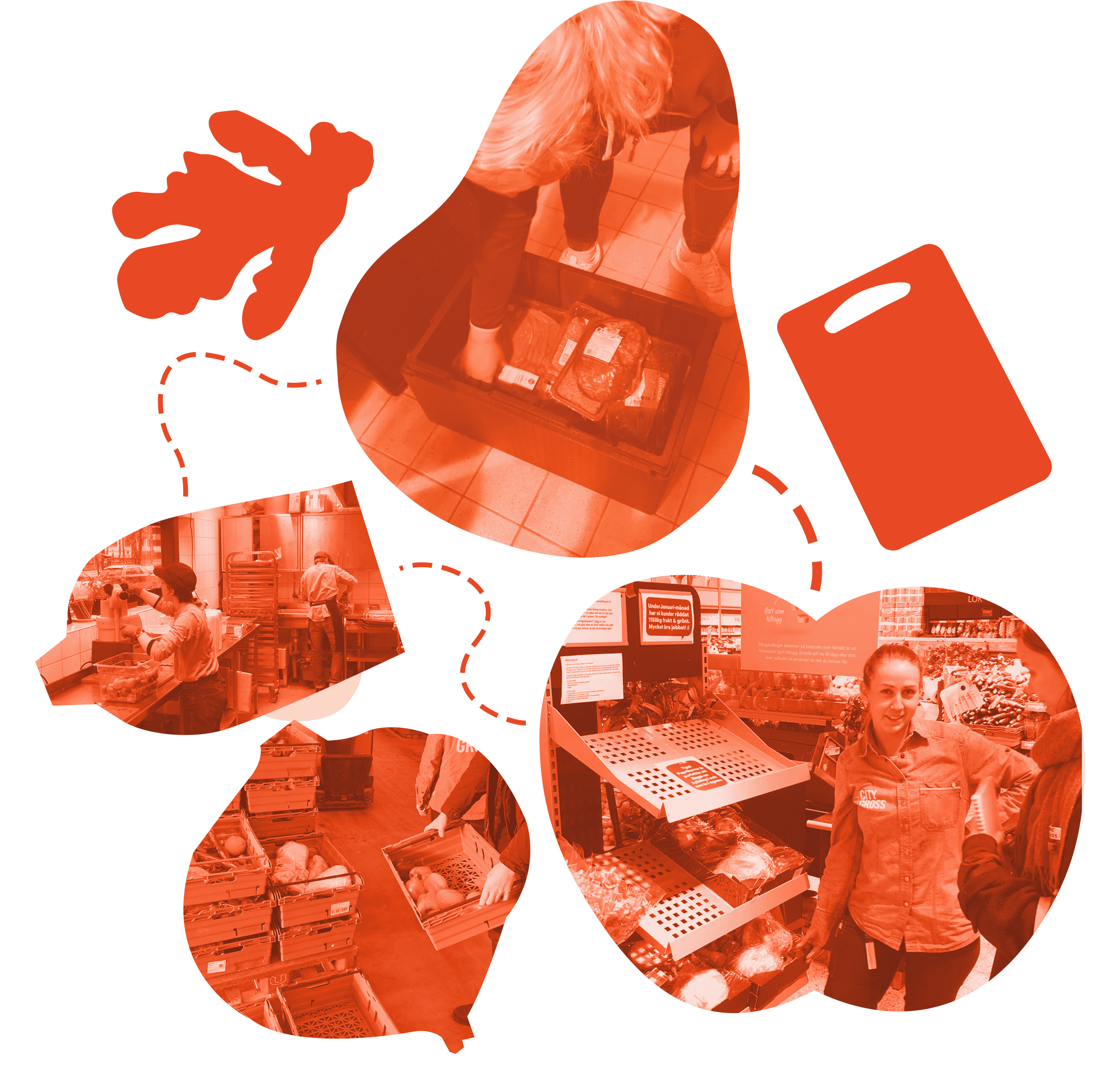
Resvinn - Less waste, more food
Methods to reduce food waste in Sweden

bd+briefcase Project
Traceability for a Circular Future
Possibilities for a traceability system for electronics and their components

bd+briefcase Project
Video App for Journalists
Clipsk makes it quick and easy to create content on the go

bd+briefcase Project
WWFs Food Calculator
Managing your kitchen climate goals
bd+briefcase Project
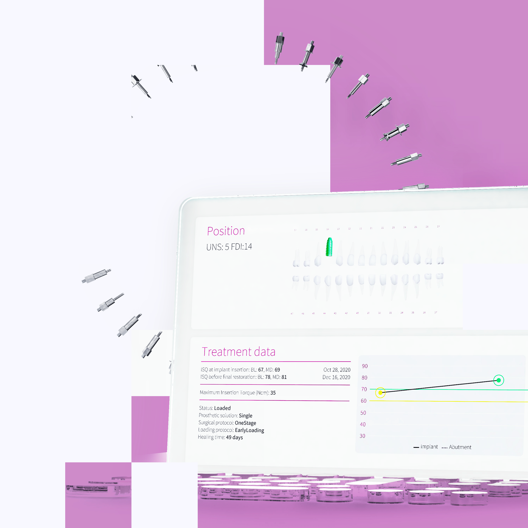
Osstell Connect
Ecosystem for dental implants

bd+briefcase Project
The Future of Forestry
Autonomous planting machine for optimal plant survival
bd+briefcase Project
Charge Map
More stations less anxiety

bd+briefcase Project
Energy Resilient Everyday
Visions for a Daily Life with Limited Electricity

bd+briefcase Project
Turning meaningless waiting into meaningful preparation for cancer patients
Sensors help breast cancer patients prepare for radiation therapy

Ongoing Project
The forest game
Navigate through the complex choices that shape the forest's future.

Boid is a product design studio in Gothenburg with expertise in creating business value by understanding the people who will value your product. With one foot in academia and the other in industry we strategize, conceptualize and realize innovation.
We are certified according to ISO 9001 & 14001.
bd+invader